Week 5 – Projections Part 2
For this week’s assignment, we continued working with map projections in ArcMap. In addition, we also downloaded shapefile and aerial images from different websites. Land Boundary Information System (LABINS) and Florida Geographic Data Library (FGDL). We also had to create an Excel spreadsheet with Latitudes and Longitudes in Degrees, Minutes, and Seconds. After that we had to format them in Excel, and then convert the information to Decimal Degrees and format in Excel once again.
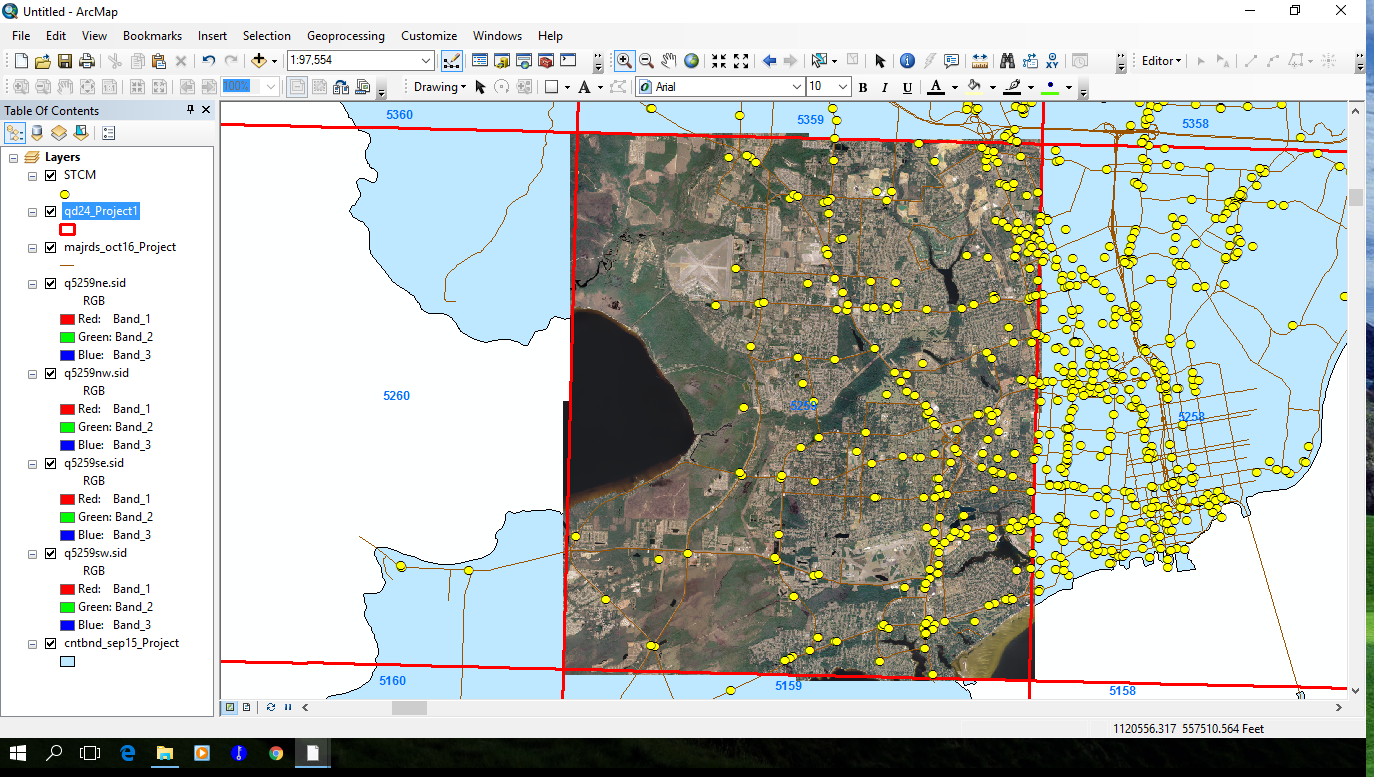
Using some of the data we downloaded, we had to re-project the data to the coordinate system that we were using. The other data we had to define the projection so it lineup correctly with the other information.
For the Excel spreadsheet we had to convert the Latitudes and Longitudes from Degrees, Minutes, and Seconds, to Decimal Degrees. Then you were able to add the spreadsheet date to ArcMap to give you point features for the locations.
This was a long lab assignment but a very good one. This has helped me immensely to understand in depth, about projections and how to use them.
No comments:
Post a Comment